spectors_logo_bh_rb_v001spectors_logo_bh_rb_v001
INTERREG_EU_Logo_V002INTERREG_EU_Logo_V002
  • HOME
  • ACTIVITIES
  • ABOUT
  • TEAM
  • CONTACT
  • PRODUCTS
YouTube
Twitter

Drone Positioning

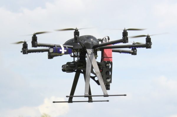
Very precise drone positioning in the centimeter range is fundamental for many future applications (indoor architecture assessment or accurate quantitative short range surveying of building facades and other architectural structures). However the accuracy of GPS is not high enough for such applications. Differential GPS improves the positioning but does not work indoors, in forests or in narrow streets with high buildings.

Possible options may be: Laser scanning and guidance, optical positioning with markers, ultra- wideband (UWB).


BLOG on Category “Drone Positioning”

Linking scientific developments and industrial applications

2020-04-21SPECTORSAll, Big Data, Drone Positioning, Hyperspectral, Object Recognition, Precision Agriculture, Surveying and Inspection
Hochschule Rhein-Waal (HSRW; https://www.hochschule-rhein-waal.de/en) is one of the scientific partners within the SPECTORS project and is responsible to link scientific development and industrial use between partners. Through close collaboration with different partners within the SPECTORS project, HSRW had made progress in different applications.   On-premise cluster environment for remote sensing applications Knowing the importance of...
Read More

First look at optical positioning systems

2017-08-10NancyAll, Drone Positioning

One of the topics in which SPECTORS is active is drone positioning, with staff involved in developing and testing optical positioning systems that may be effectively implemented on drones. To give a general idea to whom is not familiar with the topic, positioning systems are needed on drones in order to be able to determine…

Read More
Next Project
Cool Articles
Cool Articles
Events
Events