
KnowH2O is a dutch company expert in hydrology, irrigation and drainage, water quality and water management. Active in the project as service provider in Big Data architecture and precision agriculture.
Dutch company specialized in bird control and aerial inspections via UAV systems. In the project active as developer (defining requirements, optimization, evaluation) and provider of tes facility in different activities, such as physical interaction with drone and sensor systems for airborne vehichles.
Dutch start-up developing a big drone for agriculture and able to lift heavy weights, versatile for applications in firefighting, emergency rescuing, reforestation, data gathering. In the project active as developer, service provider, user and in the business sector, in activities such as physical interaction with drones, precision agriculture and remote sensing software.
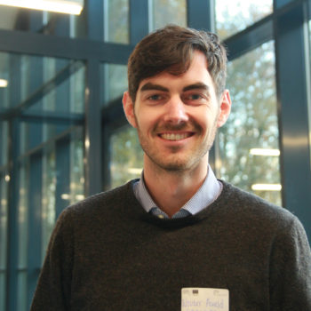
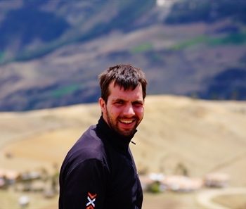
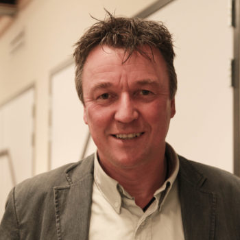
Winfried Rijssenbeek
Drone Engineer
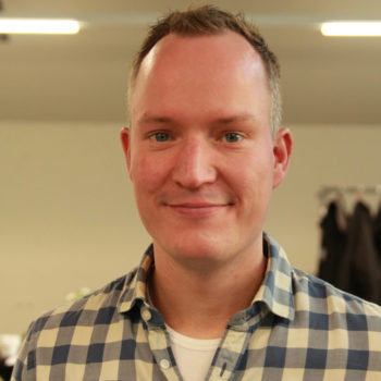
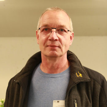
Winfried is designing really big drones. He is running the company Drone4Agro.
Dutch Research Institute and University focused in natural and social sciences (agriculture, lifestyle, environment). In the project active as developer (application, support, test and training, algorithms, services) in positioning system, surface scanner, Imaging Sensor Systems for airborne vehicles, physical interaction with drones, etc.
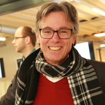
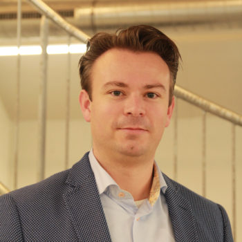
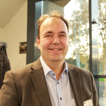
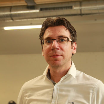
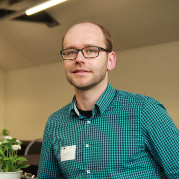
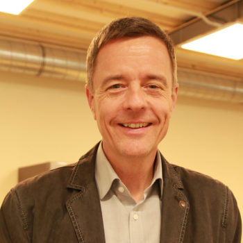
Lammert Kooistra
Senior Scientist Remote Sensing
Lammert is sensing the changing world. He is head of WUR UARSF.
Dutch University research-oriented, specifically towards technology, robotics, geoinformation science, mathematics and computer science. Active in the project as developer (support, mechanical construction of sensors) in positioning system, surface scanner, physical interaction with drones (as main developer), object recognition.
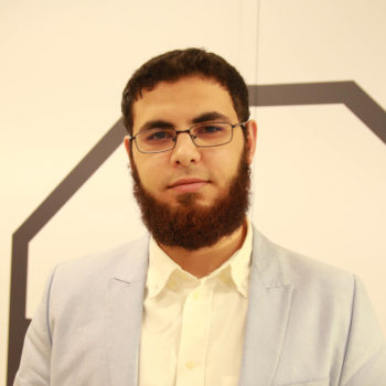
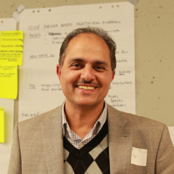
Ramy Hashem
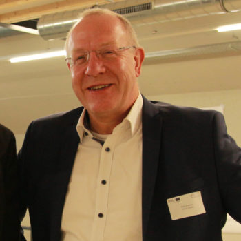
Johan Engelen
At KWR they are experts in a wide range of specialist fields in the water sector and challenges. It’s active in the project as user in the activities related to vegetation mapping, monitoring services and big data.
Oost NL helps develop the regional economy of eastern Netherlands, helping innovative entrepreuners. It’s active in the project in the business and network development processes, in activities such as Drone Positioning, Surface Scanner, Big data.
From Wageningen, they are specialized in environmental research together with geo-information and land use, environmental risk assessments, spatial planning, etc. In the project active as developer of remote sensing services, precision agriculture software, algorithm for object recognition, etc.
Sander
Dutch company focused on precision agriculture worldwide and research in the field of soil-plant relations, spectroscopy, sampling methods, machine learning, etc. Active in the development of Handheld infrared sensor for feed analysis and its market possibilities.
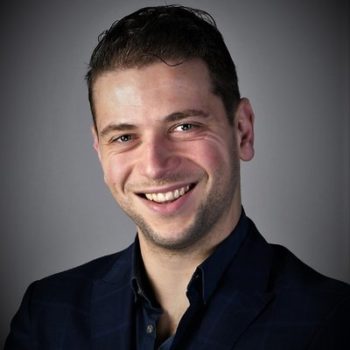
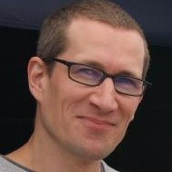
David Marcelis
GIS & Remote Sensing Scientist
Besides heavy metal David is passionate about earth observation for precision agriculture. He is working for Soil Cares Research.
Eaglesensing
EagleSensing is a remote sensing start-up based on the campus of Wageningen University, specialised in development of geo- and remote sensing systems and the commercial exploitation of geo-information in the agricultural sector. Active in the Projct as service provider and developer in activities such as positioning systems, surface scanner, novel airborne imaging sensor systems, softwares for precision agriculture, etc.
Philip Hansmann
Dutch innovative company specialized in secuty systems.
Dutch company with own R&D focused on diagnostic applications and detection of micro-organisms. Active in the project as developer of membrane technology and in the physical interaction with drones with enhancement for a flying microscope.
Ronald van Doorn
Bureau Waardenburg is an independent research and advice consultancy working in the fields of ecology, nature, the environment and landscape design, commissioned by both governments and private companies. Active in the project as as service user with testing new services based on remote sensing and big data architecture and as end user of vegetation mapping monitoring services.
Dutch company partner in Geo consulting and research, focused on environment, water and energy as macro-field. Active in the project as developer in Remote sensing products.
Ali Abkar
Dutch government task organisation that takes care of maintenance and extensions of the national railway network infrastructure, of allocating rail capacity, and of traffic control. Active in the project for the social issue of suicides, copper theft, traspassing, which will diminish thanks to advanced radar surveillance development.
AeroVision is a dutch advisor of geo-information which is developing the use of UAV for supporting sensing and precision agriculture. Active in the project for its capabilities in the business and network sectors and as contact to end costumers, together as promoting new technologies in the field of precision agriculture, remote sensing, object recognition, vegetation mapping, etc.
Dutch company with potato plantations and oriented towards precision agriculture. Active in the project as representative of end costumers for handheld infrared sensor for feed analysis and multiplier remote sensing agriculture.
German company involved into numerous research projects and product, such as IoT technologies, apps for any kind of platform, and in consulting small and medium-sized companies about digitalisation. In the project acts as coordinator, project manager, PR, as well as developer of technical solutions for spore collection in the activity of flying microscope.
Jülich Research Centre is a member of the Helmholtz Association of German Research Cenres and one of the largest interdisciplinary research centres in Europe, with 4 macro research areas: health, information, environment and energy. It’s active in the project as developer in different activities, such as nover airborne imaging sensor systems, physical interaction with drones, Big data architecture, Remote sensing software, precision agriculture, etc.
Bastian Siegmann
International University of Applied Science based in NRW and focused on technology, life sciences, environment and business. In the project active as developer (hardware, software, systems integration) in different activities such as drone positioning, hyperspectral, big data, object recognition, etc.
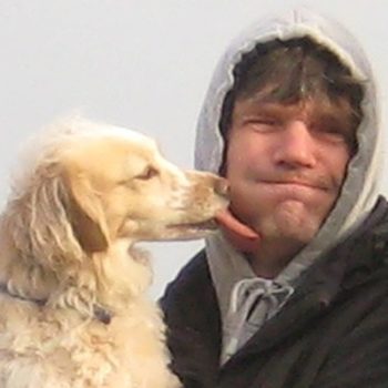
Rolf Becker & Luna
Maker
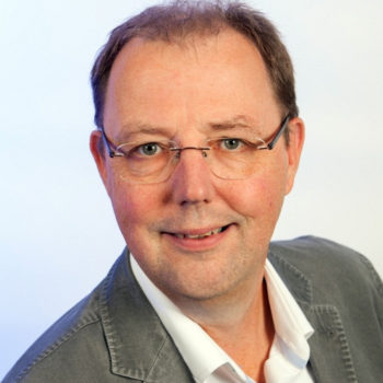
Florian Wichern
Senior Scientist Soil Science
Florian is engaged in sustainable agriculture and soil protection. He is working at HSRW.
Moritz Prüm
Bachelor Student Hyperspectral
Moritz is working on a stationary linear drive for a hyperspectral imaging system.
Lam Hoi Ying (Olee)
Research Assistant
Olee will work on several aspects of image analysis.
Local public institution for the forests in lower Rhine area, with jurisdition over more than 60.000 hectares of wooded surface. In the project offers test sites and is a representative of end costumers for the activity of remote sensing software and precision agriculture.
Chamber of Agriculture for the region North Rhine-Westfalia. Active in the project as developer, test sites provider, representative of end customers, in activites such as handheld infrared sensor for feed analysis, nover airborne imaging sensor systems, big data architecture, etc.
Clara
Franz Cleusters
Nature Protection Centre of Kleve, which monitors protected local areas and promotes information and awareness. Active in the project as developer, especially performing tests and evaluating Remote sensing softwares and precision agriculture services, by representing end customers and by being interested in wild-life protection and detection of species in object recognition activities.
Corinna Roers
Ulrich
German institution of consulence in engineering and technology, with priorities in promoting business investment in R&I, social innovation, technology transfer, diffusion of general purpose technologies, etc. Active in the project as developer, service provider, in nover airborne imaging sensor systems, remote sensing software and precision agriculture, object recognition, etc.
German company engaged in 3D measurements, inspection of buildings, airborne pictures. Active in the project as service provider, representative of end customers, in high accuracy position system, surface scanner, physical interaction with drones, object recognition, etc.
Germany company, research-driven into industrial engineering and design house specializing in radio technologies and microelectronics. Active in the project as developer in the field of RF transmission in high accuracy positioning systems and responsible for hardware and software in communication technology related to surveillance.
German society for harm and security analysis which is actively using drones for measurements, videos, thermographies. Active in the project as service provider and developer in physical interaction with drones, high accuracy position systems, surface scanner, etc.
German company specialized in 3D laser scanners, geo-data management, software development. Active in the project as service provider, representative of end costumers, supporting development in high accuracy positioning, surface scanner, physical interaction with drones, etc.
German company involved in airborne measurements, specifically videos and pictures from drone perspective. Active in the project as developer and service provider in physical interaction with drones, object recognition, vegetation mapping and monitoring services, etc.
Public-private dutch partnership in collaboration with University of Twente, Saxion University of Applied Sciences and ROC van Twente. It’s a single, shared portal for national and international organizations. With an airport in the immediate vicinity, a safety campus and a large number of special indoor and outdoor areas for research and testing with unmanned systems of all sizes, Space53 is unique in Western Europe. It will host the necessary testing activities in SPECTORS