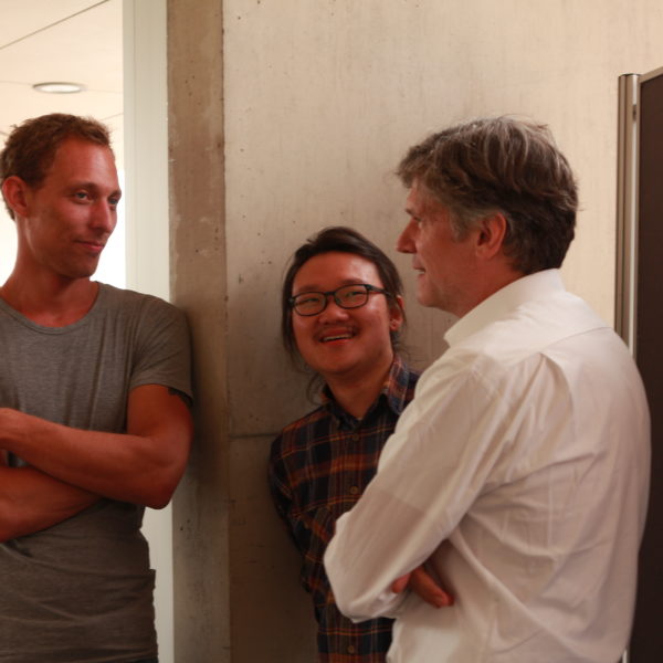
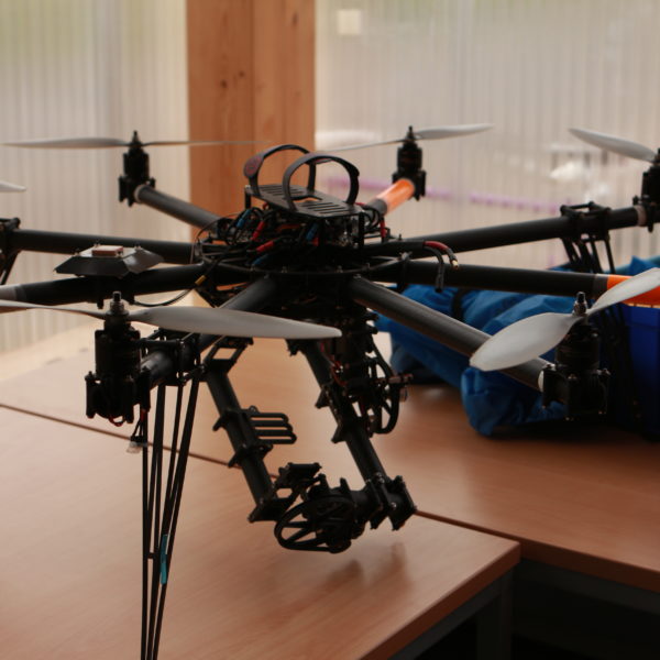
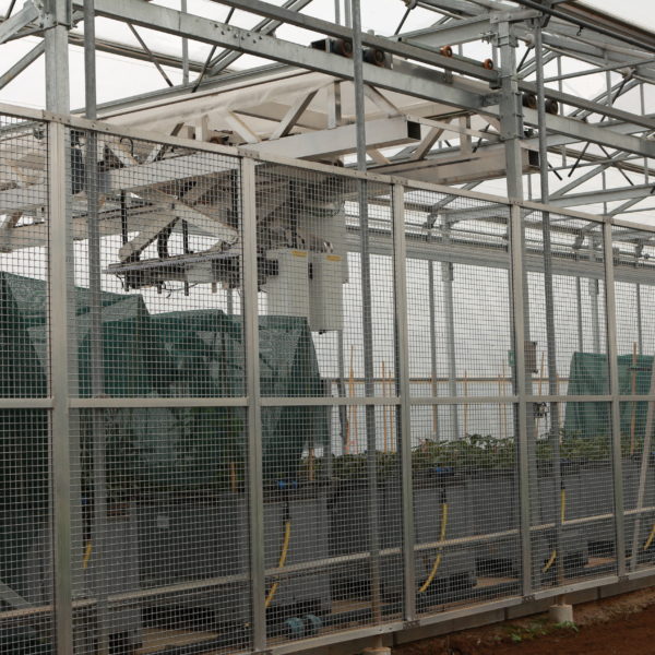
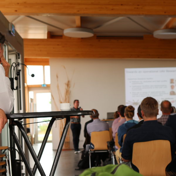
As previously announced, SPECTORS took part to a very interesting meeting about specific applications of UAV’s in agriculture and breeding in Klein-Altendorf Campus of Bonn University.
The first part of the day was about technical status of the technology, actual applications and problems that the different participants had to face during the realization of their projects.
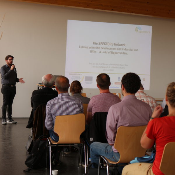
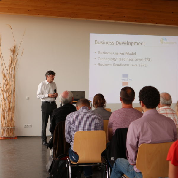
Speakers from Jülich Research Center, Bonn University, JKI, Hochschule Rhein-Waal and Wageningen University gave an overview of state of art of their innovations and technologies with examples of what their drones can do and some post-processed data and prof. Becker and Bastian Hoffmann introduced SPECTORS and the business structure behind as well as the possible opportunities, followed by Lammert Kooistra and the already successful applications achieved in UAV based image analysis, who talked as well about the importance of being aware of the local legislation about drones, flying license and permits.
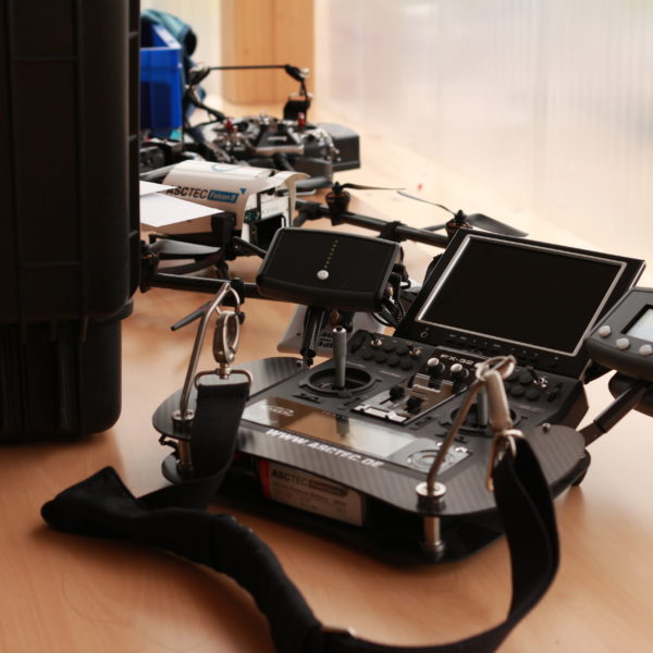
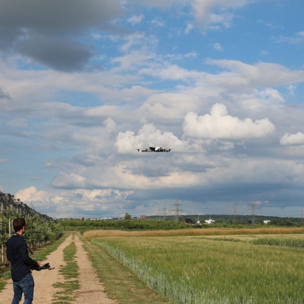
Due to weather conditions, unfortunately UAV’s demonstrations weren’t possible witch exception a little flight in the evening.
Nevertheless, the day went on and after lunch a very interesting Forum between Service Providers and potential Consumers (the present representatives of companies invested in agriculture and breeding) which made both parts more aware of the possibilities for the future, problems that need to be solved, demand and offer.
In the afternoon more interesting presentations took place:
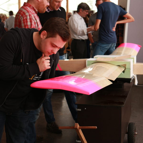
Kai Wittneben, from Aeromedes, gave the pilot point of view on fixed wing UAV, in exposition in the hall, followed by a presentation from Bonn University about high precision geodetic measurements from UAV platforms, which is still an undergoing research due to different methods with different compromises. Afterwards our friend Markus Neteler from Mundialis spoke about the problem of big data and processing of remote sensing data and solutions they offer related to available satellite data (such as COPERNICUS HUB from ESA).
Last three presentations of the day covered the potential of pan-sharpening with remote sensing data (Jülich Research Center), how UAV are used to quantify plant height, biomass and growth thanks to UAV time series data and their processing (Cologne University) and last but not least EagleView closed the day with explaining how machine learning can be used for crop classification and segmentation, specifically applied to airborne sensors and cameras.
For us this experience has been very interesting and different approaches and opinions will definitely help us in our future steps, and future meetings will be follow up for further cooperation possibilities.

